
PROJECTS
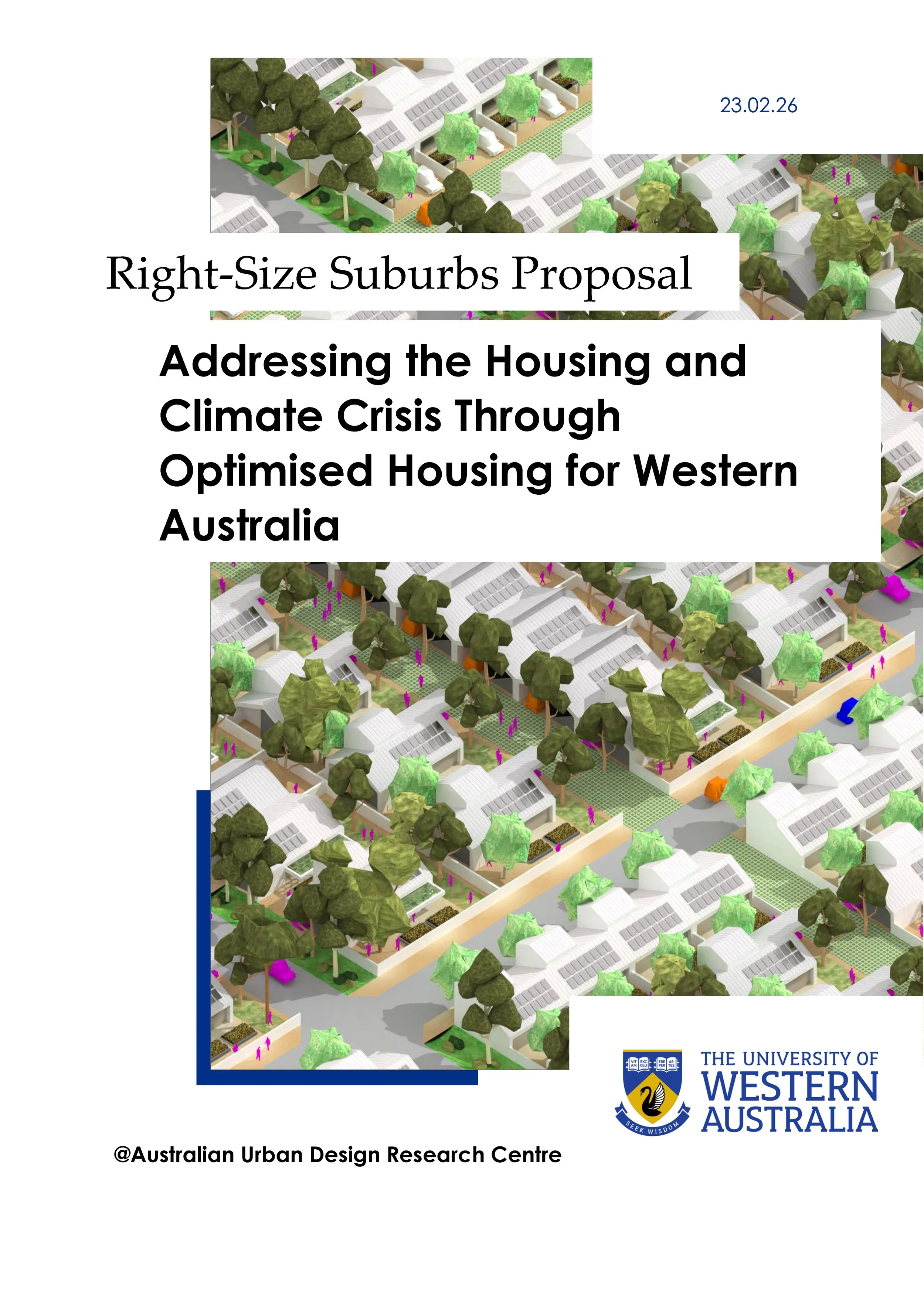
Addressing the Housing Crisis Through Right-Size Suburbs
Project description: Australia faces a major housing shortage and high residential greenhouse gas emissions, while continuing to build the world’s largest homes despite shrinking household sizes. Western Australia has hundreds of thousands of empty bedrooms and limited housing diversity. Research shows smaller dwellings could cut emissions, reduce costs, curb sprawl and improve affordability. This project will analyse current housing and neighbourhood models, develop low impact right sized alternatives, and investigate what trade-offs first home buyers are willing to make to support more affordable, sustainable, appropriately sized housing across WA.
Partner organisations: The Western Australian Planning Commission (WAPC), the Department of Planning Lands and Heritage (DPLH), Development WA, and the Department of Housing and Works (DHW), the City of Karratha, the City of Greater Geraldton, the City of Wanneroo and the City of Swan.
Timeframe: 2026-2029
CLIMATE CHANGE ADAPTATION OF SCHOOL PRECINCTS
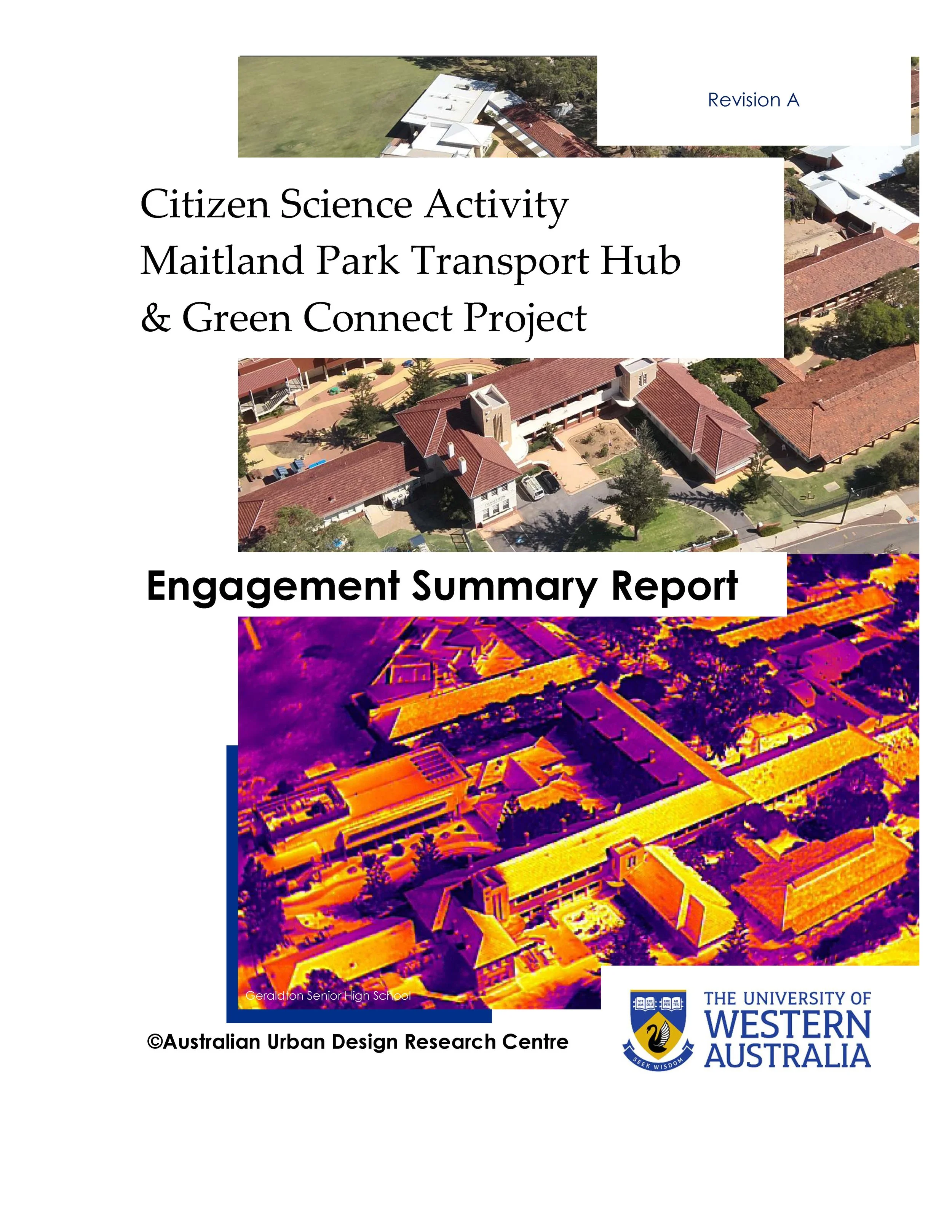
Project description: This project seeks to educate children from schools in Geraldton’s Maitland Park precinct (e.g., Geraldton Senior High School, St Francis Xavier Primary School) about climate risks posed by extreme heat and adaptation strategies to mitigate these risks. Activities include a citizen science to track air temperatures, surface temperatures and wind in the Maitland Park precinct (including schools) using hand-held weather meters and AUDRC’s thermal drone. Subsequently, students will participate in a design competition to design a climate shelter for the Maitland park precinct.
Partner organisations: the City of Greater Geraldton, UDLA
Timeframe: 2026-2027
Low carbon Transit Oriented Developments
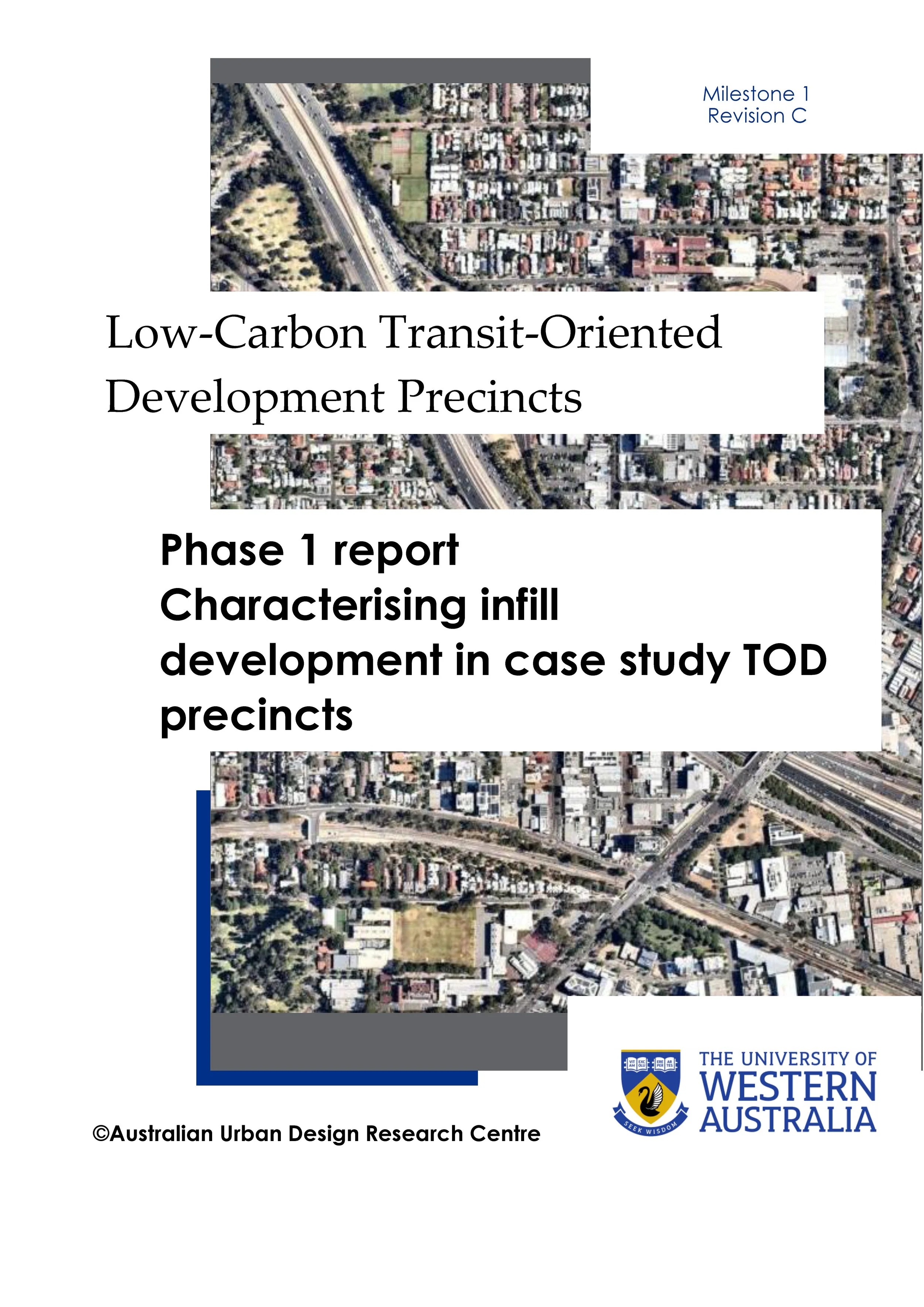
Project description: Transit-oriented development (TOD) theory proposes that higher building densities and a diversity of land uses should be within walking distance of transit stops. Proponents of TODs suggest that increasing the density of the neighbourhood population around transit nodes will support improved public transit services, make transit a viable alternative to private vehicles, encourage active transport and reduce transport emissions. Moreover, the denser a city is, the lower the operational and embodied emissions associated with housing are. Nonetheless, questions remain about what levels of density (and accompanying building types) are most effective in reducing transport, operational and embodied emissions. This Project will provide evidence to support better decision-making and assessment in planning and designing TODs in Perth, including METRONET station precincts. TOD precincts, appropriate for infill development, will be selected from across the metropolitan region and modelled to project future dwelling yields for infill development based on changing supply/demand factors.
Partner organisations: Department of Planning Lands and Heritage, Department of transport, PATREC
Timeframe: 2025-2026

Climate adaptation strategies for Perth’s Primary Network
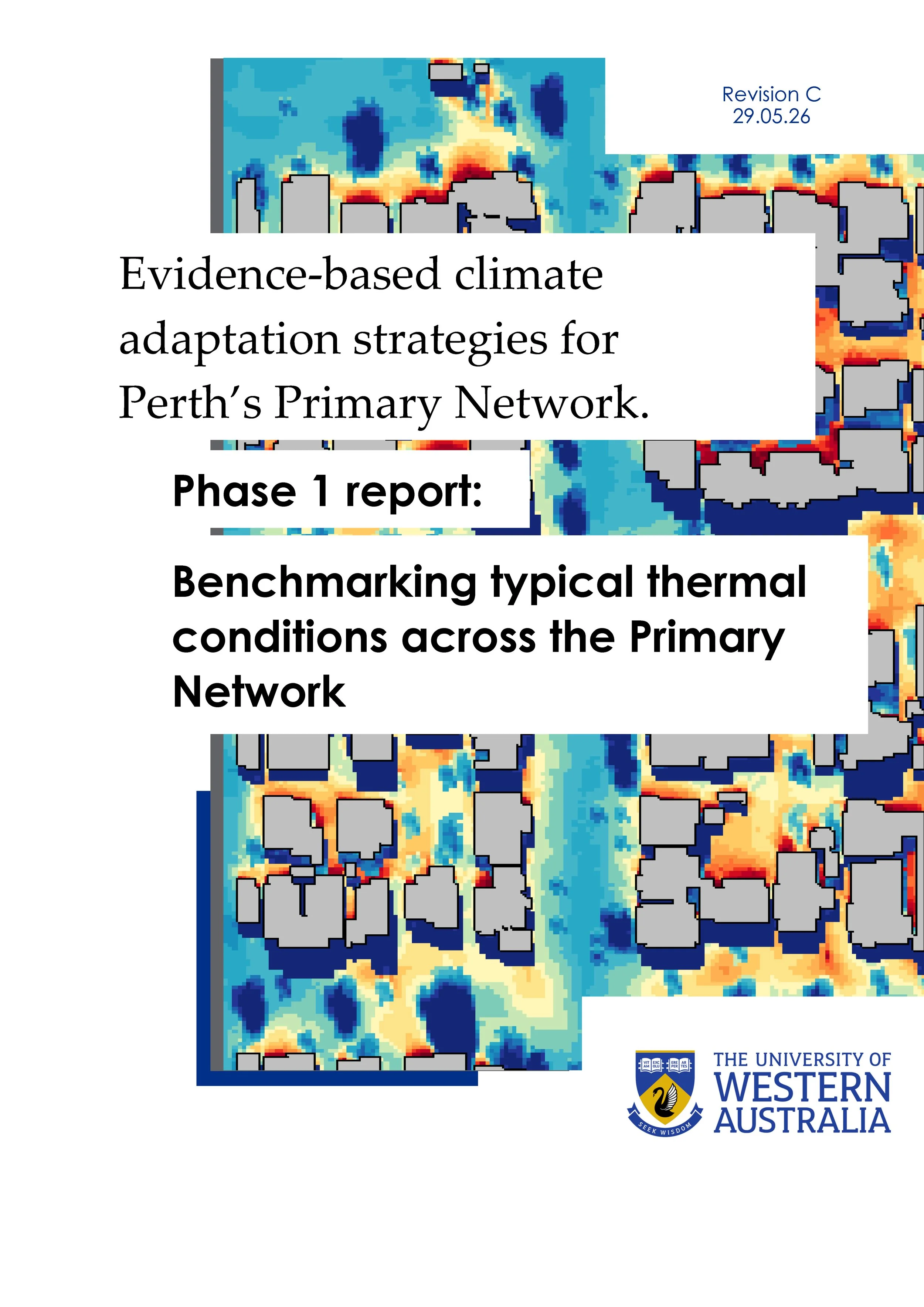
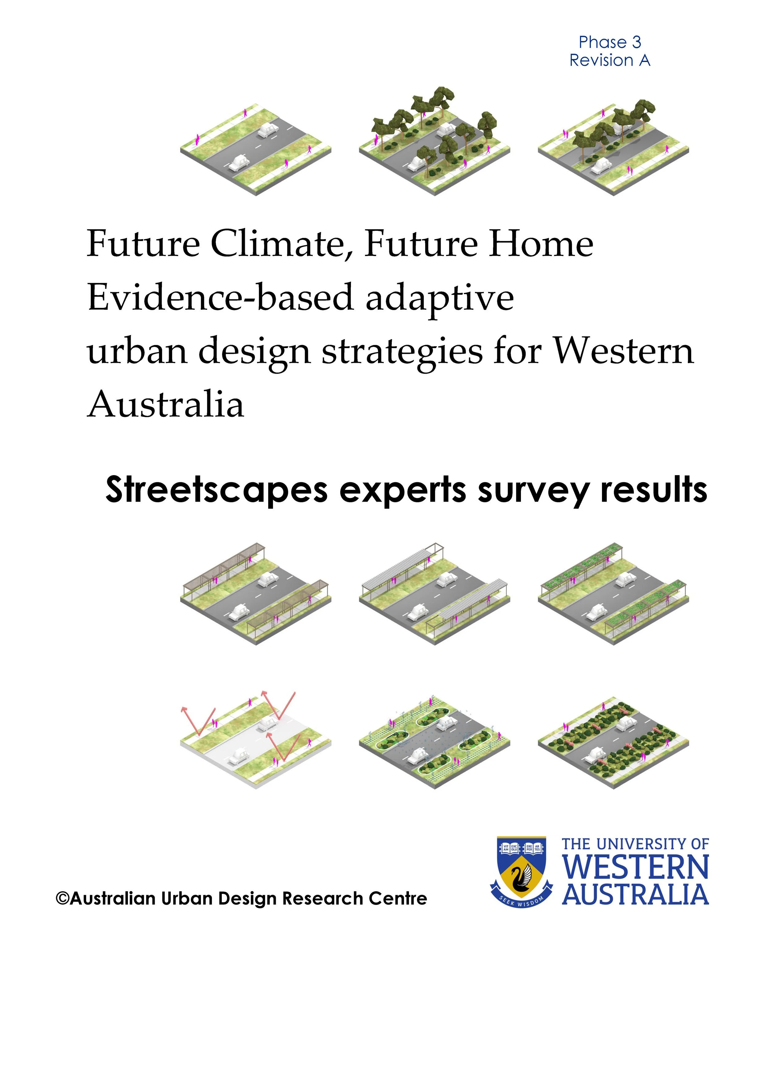
Project description: Hot conditions can trigger health issues, cause significant discomfort, alter the frequency and patterns of outdoor activity and boost private vehicle use, leading to public health impacts and increased energy consumption. As such, Perth’s Primary Network must be adapted to current and projected climatic conditions to facilitate active transport through cycling and walking. In response, this project will model current and projected thermal conditions across the Primary Network to identify hotspots of vulnerability to heat stress and devise evidence-based climate adaptation strategies to mitigate heat stress across the Primary Network.
Partner organisations: Main Roads WA, the Department of Transport, PATREC
Time frame: 2025-2026
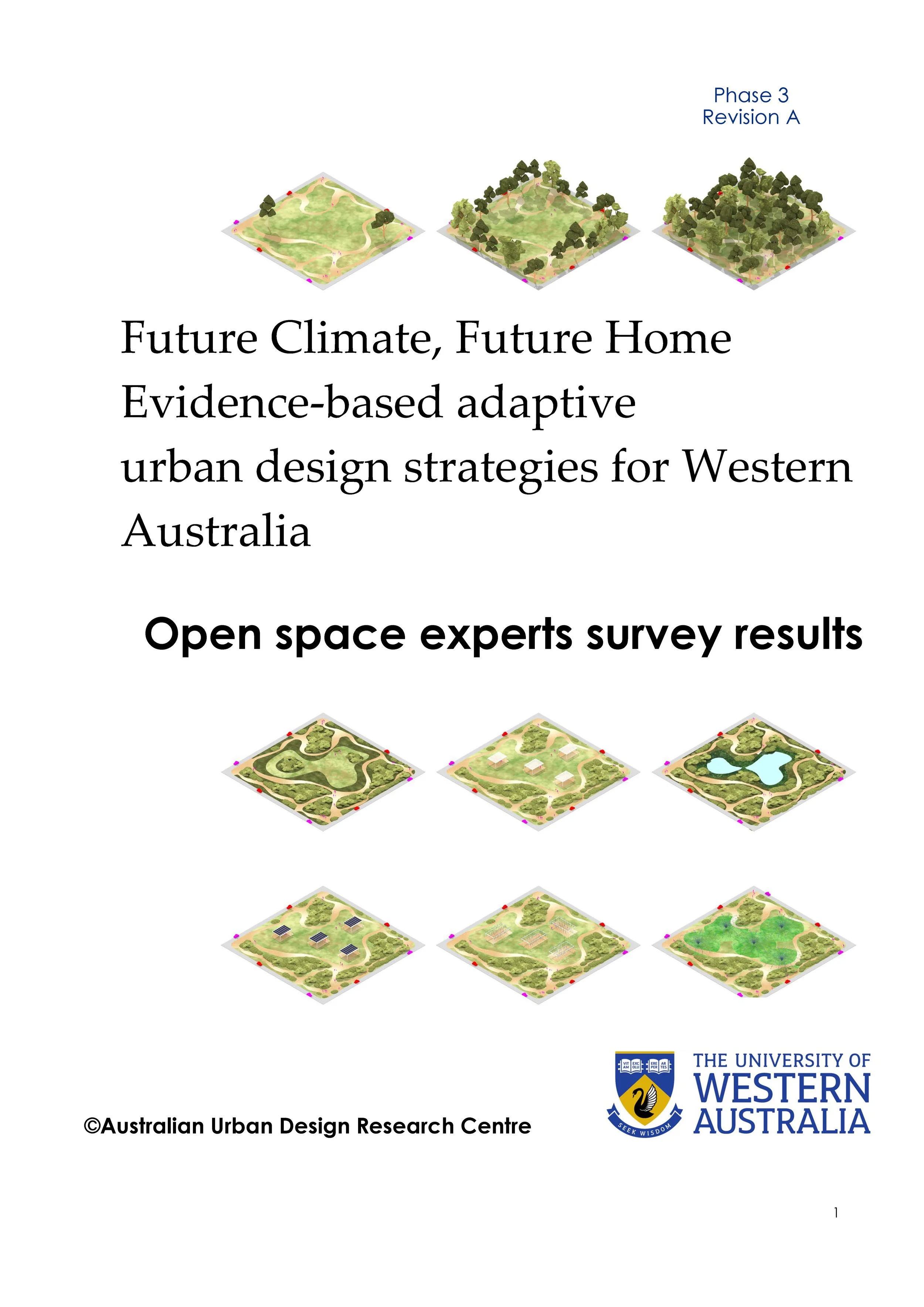
FUTURE CLIMATE FUTURE HOME: Adaptive urban design strategies for WA
Project description: The latest Intergovernmental Panel on Climate Change (IPCC) report contains dire projections for climate change impacts. Yet the implications of rising temperatures and changing rainfall patterns for urban precincts (including public open space) and housing in Western Australia remain poorly understood. Preparing Western Australia communities to be 'climate-ready' is critical. This project provides an unprecedented analysis of both the current and likely future climate performance of adapted and existing precinct and housing case studies from the Kimberley, Pilbara, Gascoyne, Mid-West, Wheatbelt, and Perth and Peel regions, concerning the thermal comfort of the outdoor and indoor environments and energy demand for cooling. According to the IPCC, Australia is still flying almost blind in terms of adaptation, and many planning decisions proceed on a business-as-usual basis. In response, this project provides practical, evidence-based adaptation solutions for urban precincts and housing.
Partner organisations: The Western Australian Planning Commission (WAPC), the Department of Planning Lands and Heritage (DPLH), Development WA, and the Department of Housing and Works (DHW), the Water Corporation, the City of Karratha, the City of Greater Geraldton, the Shire of Toodyay, the City of Wanneroo, the City of Cockburn, the City of Vincent, and the City of Perth.
Timeframe: 2023-2026
Phase 1 Precinct and housing case study climate performance in current climate conditions


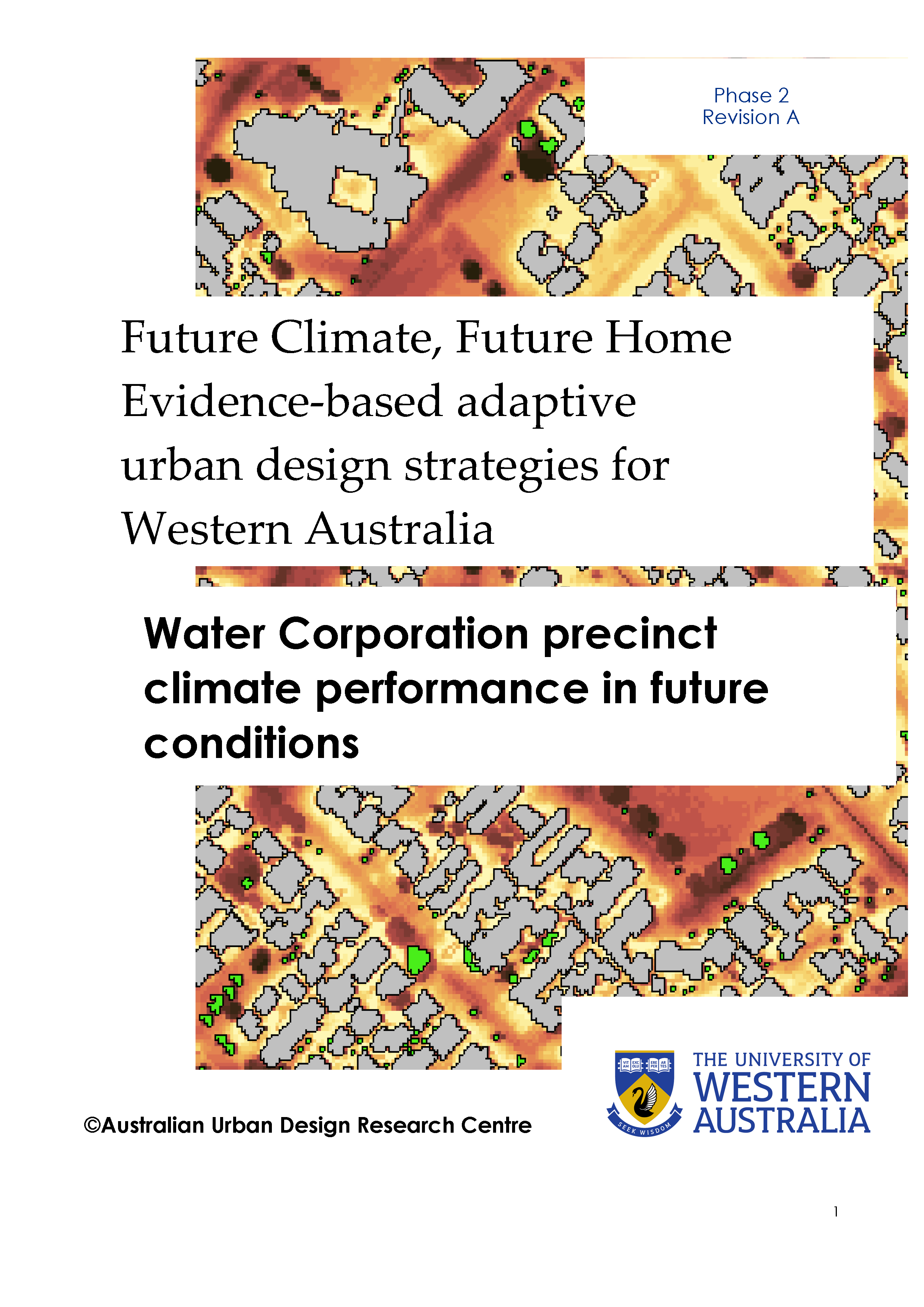
Phase 2: Precinct and housing case study climate performance in projected climate conditions


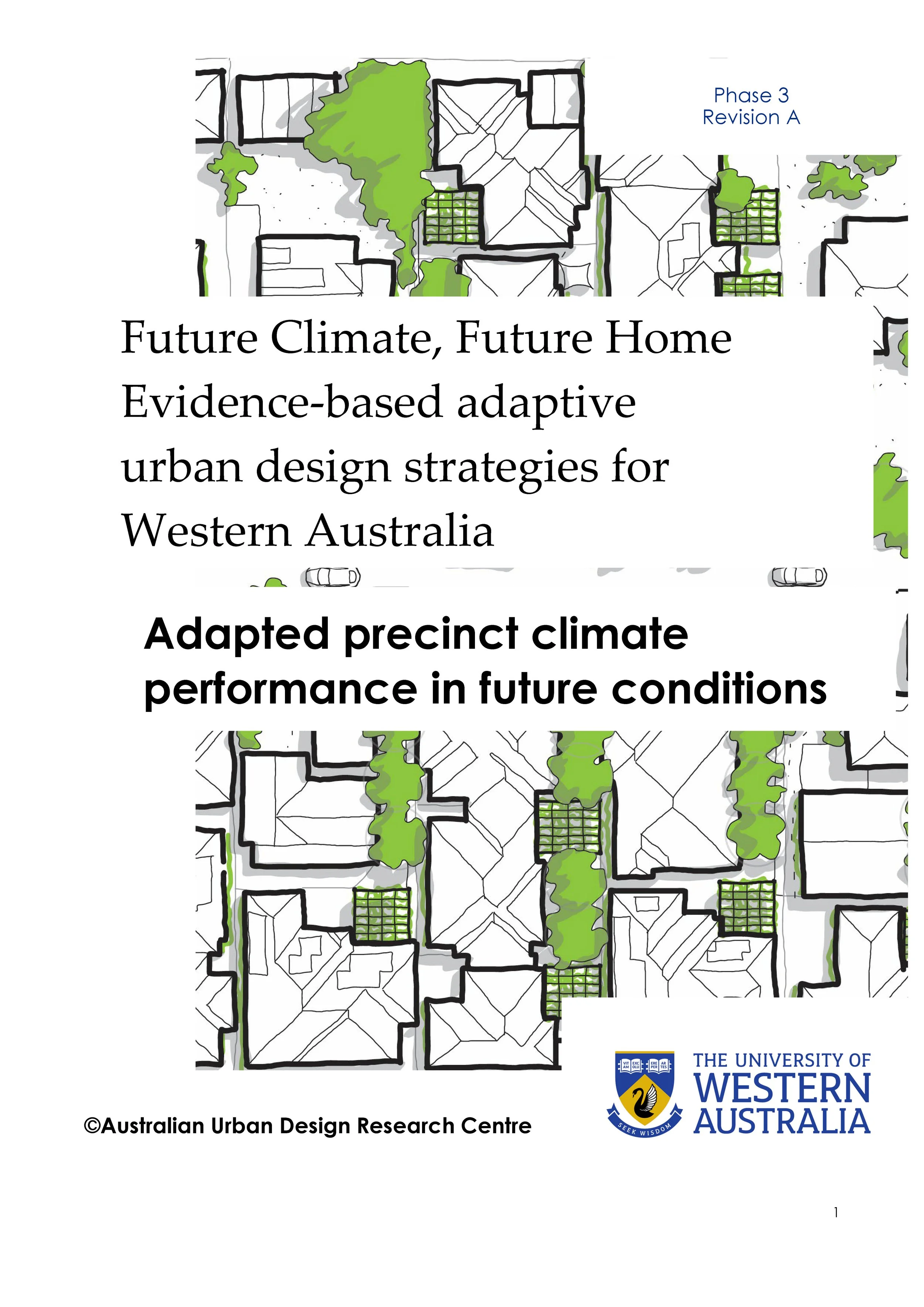
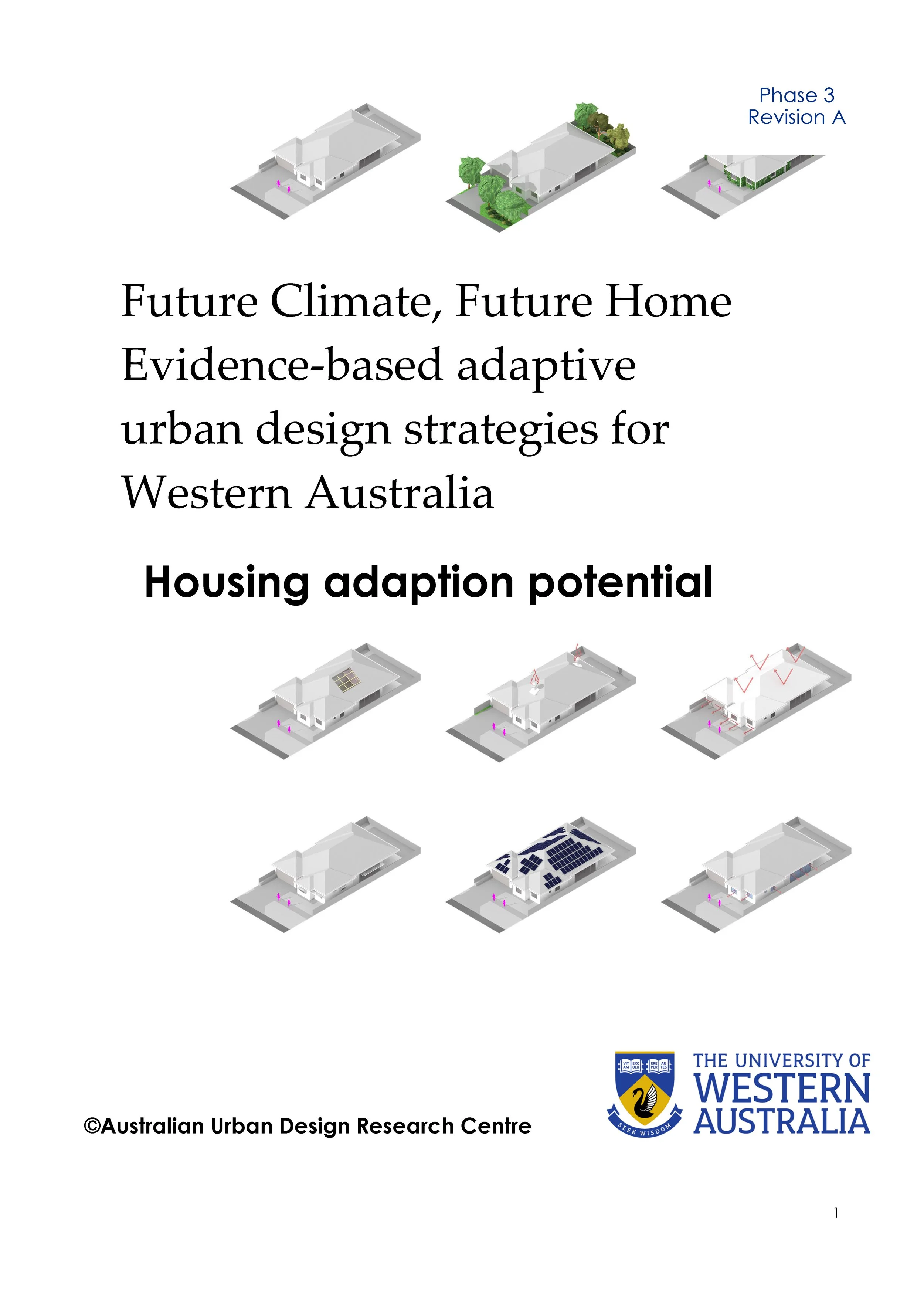
Phase 3: Adapting precinct and housing case studies to projected climatic conditions

Related academic papers
Modelling the cooling effects of blue-green drainage infrastructure in a Mediterranean climate
Unpacking Park Cool Island Effects Using Remote-Sensed, Measured and Modelled Microclimatic Data
Comparing the Current and Future Thermal Comfort Offered by Urban Park Configurations
Park Thermal Comfort and Cooling Mechanisms in Present and Future Climate Scenarios
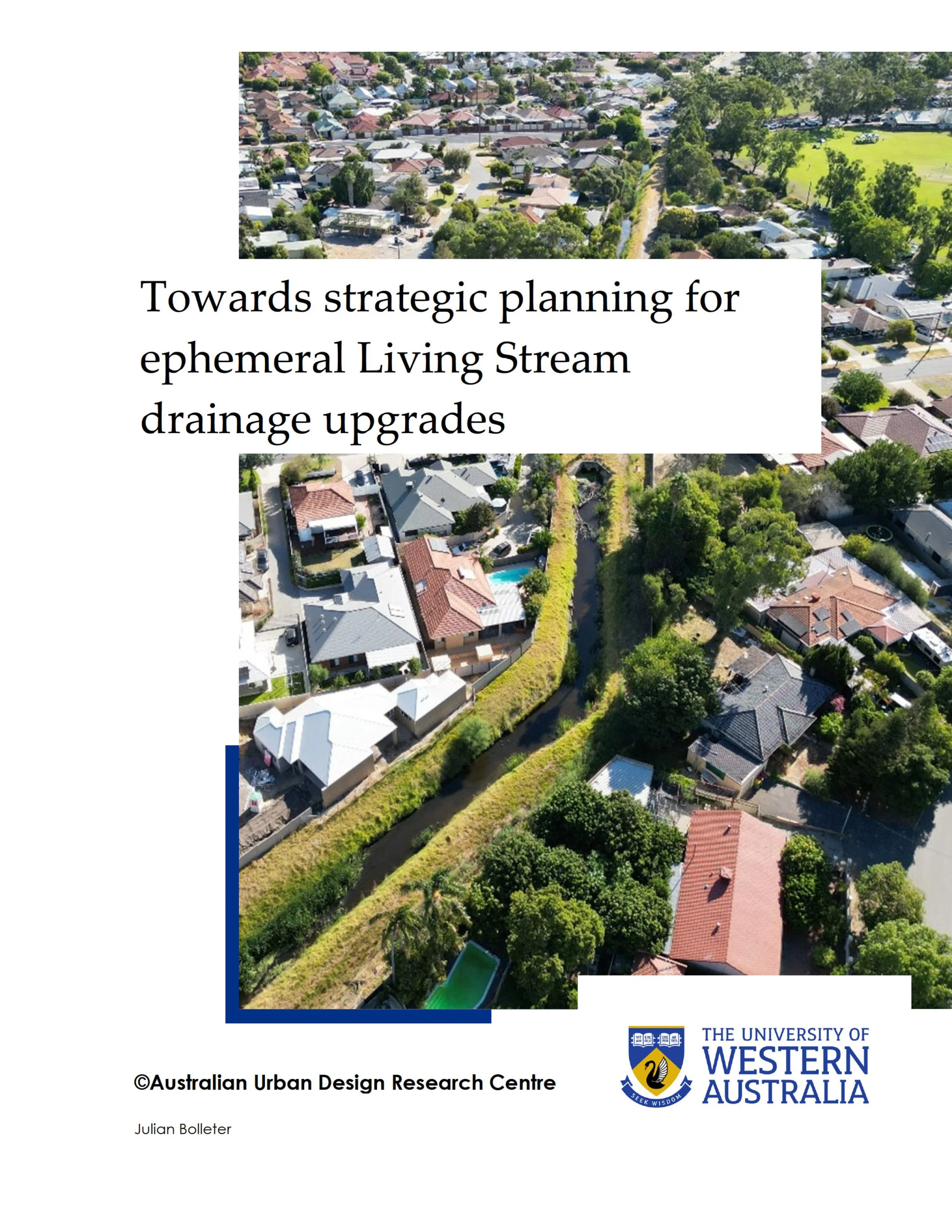
Drainage for liveability
Project description: Perth’s suburbs are dotted with drainage corridors and compensation basins. However, a preoccupation with drainage functions means most of this drainage land delivers little liveability or sustainability benefits to surrounding urban areas. As a result, Local Governments across Perth are engaged in providing green infrastructure upgrades to such drainage land. However, questions remain about where such improvements should be targeted for maximum benefit. In response, this project conducts a novel Suitability Analysis using environmental, societal, planning, climatic and hydrological mapping layers to determine which areas of drainage land are most opportune for upgrades.
Partner organisation: the Water Corporation
Timeframe 2025-2026
Related academic papers:
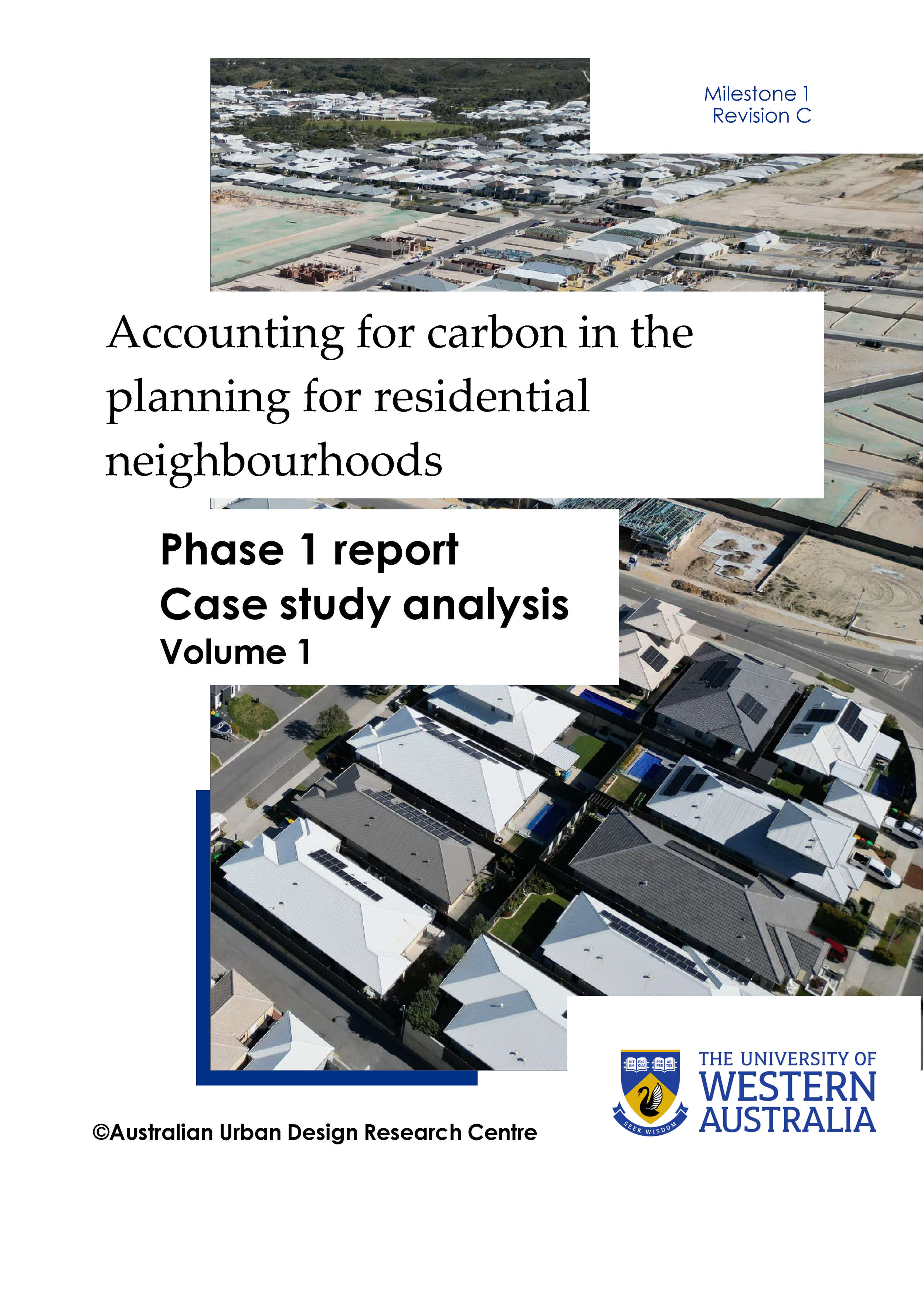
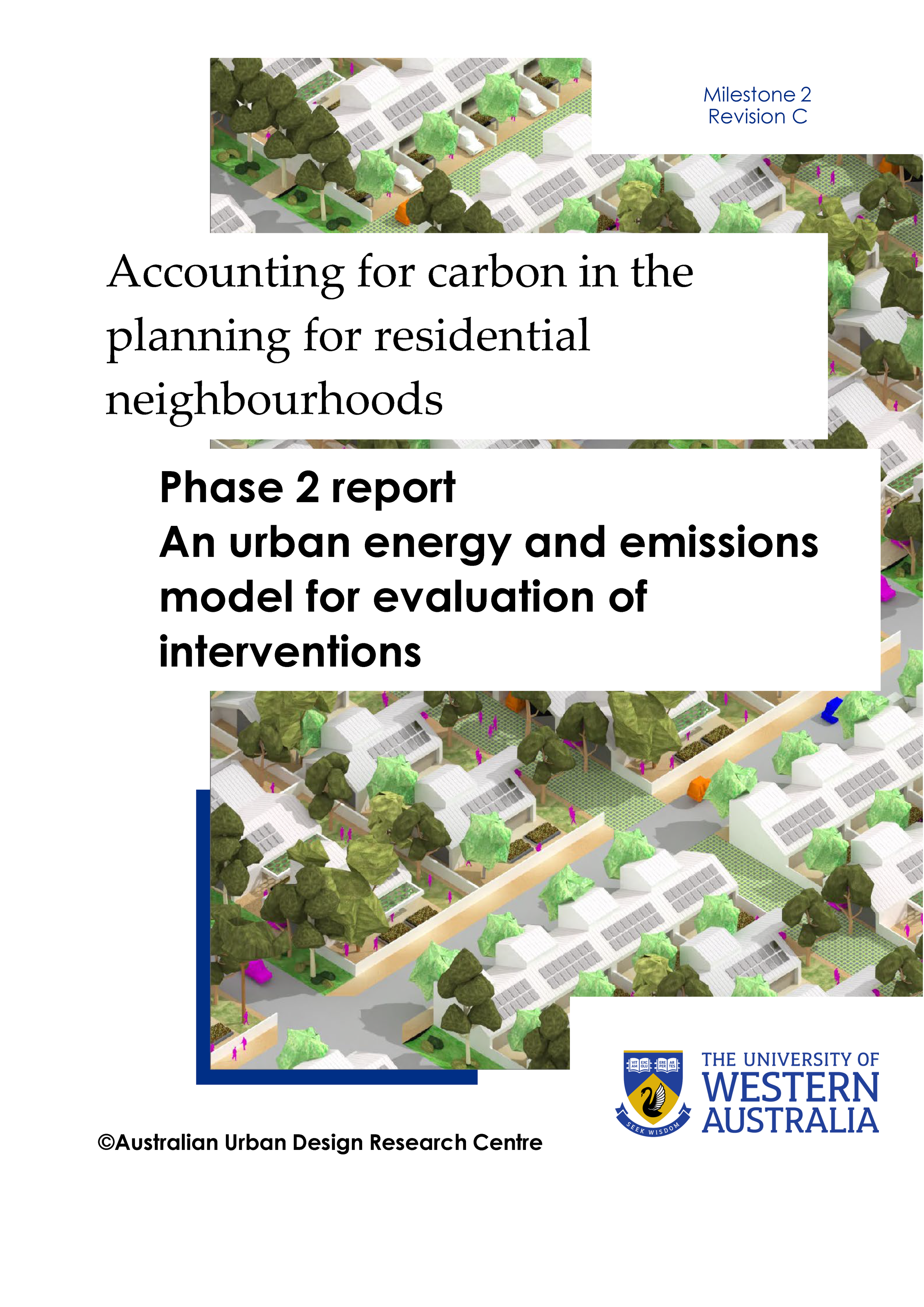
Accounting for carbon in the planning for new residential suburbs
Project description: There is a need to understand how structure planning processes for new residential neighbourhoods can best contribute to reducing greenhouse gas emissions. This should consider how accounting for emissions can be accomplished at the planning stage and followed through to the implementation and delivery stages. Western Australia’s State Planning Policy (SPP 7.2) includes a requirement for precinct structure planning to consider greenhouse gas emissions reduction and incorporation of renewable energy sources, and the preparation of an Energy and Greenhouse Gas Emissions Statement. This research will support meeting this requirement, providing an evidence base and tools to support better decision making and assessment in planning and design of new neighbourhoods.
Partner organisations: PATREC, Department of Planning Lands and Heritage, Department of transport
Timeframe: 2024-2025


Related academic papers:
Map My Say - An innovative participatory mapping tool for TOD evaluation
Project description: This project directly engages with the community through the development of an innovative public participatory mapping tool to evaluate community experiences of infill development and to identify the determinants of community support for, or resistance to, densification in urban development sites correlated with public transport. The findings of the project support future planning and land use decisions related to creating resilient urban environments and provide decision planning tools to support appropriate solutions for urban communities.
Timeframe: 2023-2026
Partner organisations: The Western Australian Planning Commission (WAPC), the Department of Planning Lands and Heritage (DPLH), Development WA, the Department of Housing and Works (DHW), the Australian Research Council


Creating evidence-based public open space standards for apartment residents
This project aims to examine how to create public open space for apartment residents. It will (1) identify how apartment dwellers use public open space, including which spaces are used and why; and (2) test whether public open space use compensates for reduced apartment/building space. With less private space, apartment residents are assumed to rely on public spaces for physical, social and recreational activities. Yet little is known about which spaces they use and why, and what they would prefer. Expected outcomes include tailored, equitable evidence-based recommendations for public open space planning and apartment design guidelines. Benefits include the delivery of sustainable high-density precincts that cater to community needs.
Partner organisations: RMIT (lead), the Australian Research Council
Timeframe 2021-2024
Related academic papers:
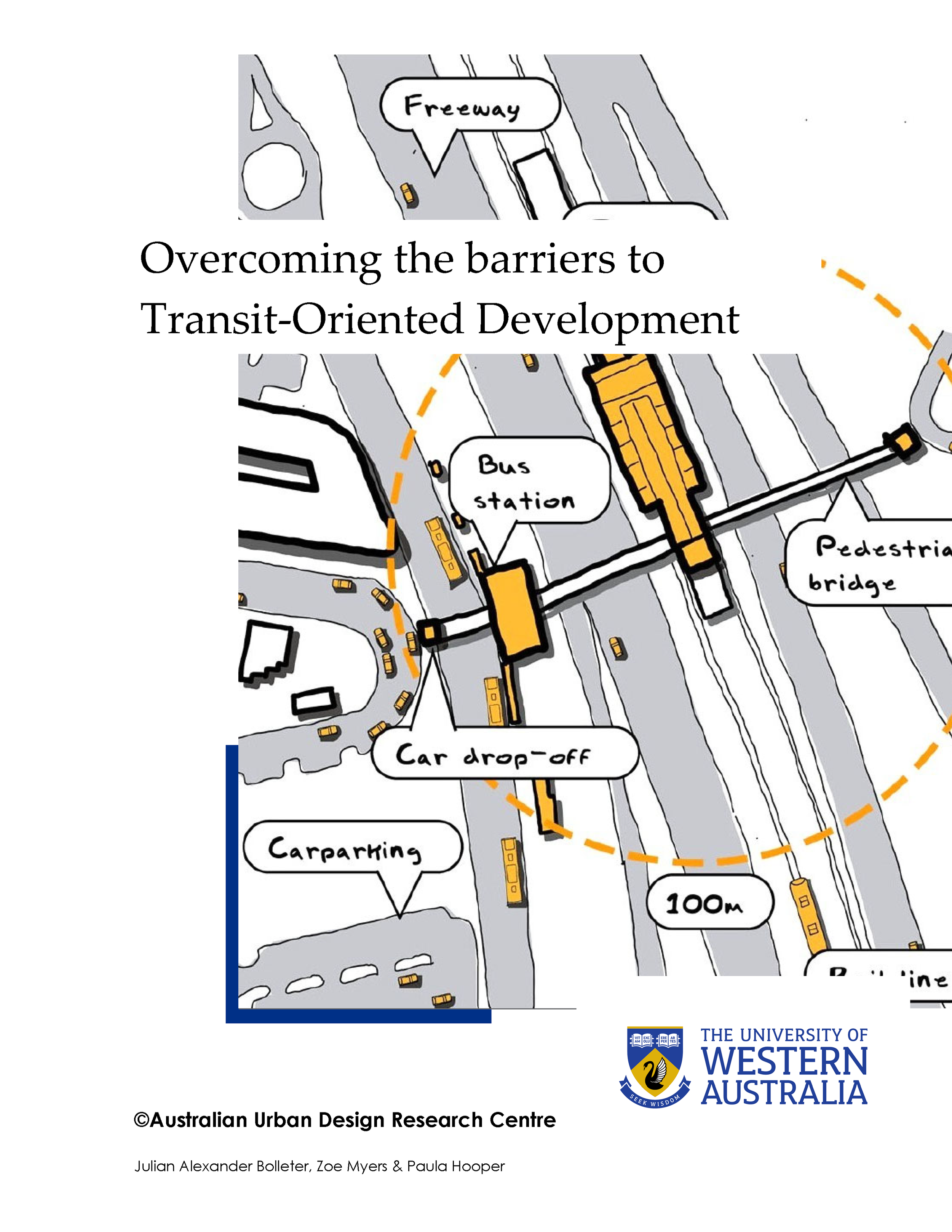
overcoming Barriers to Transit Oriented Development in Perth
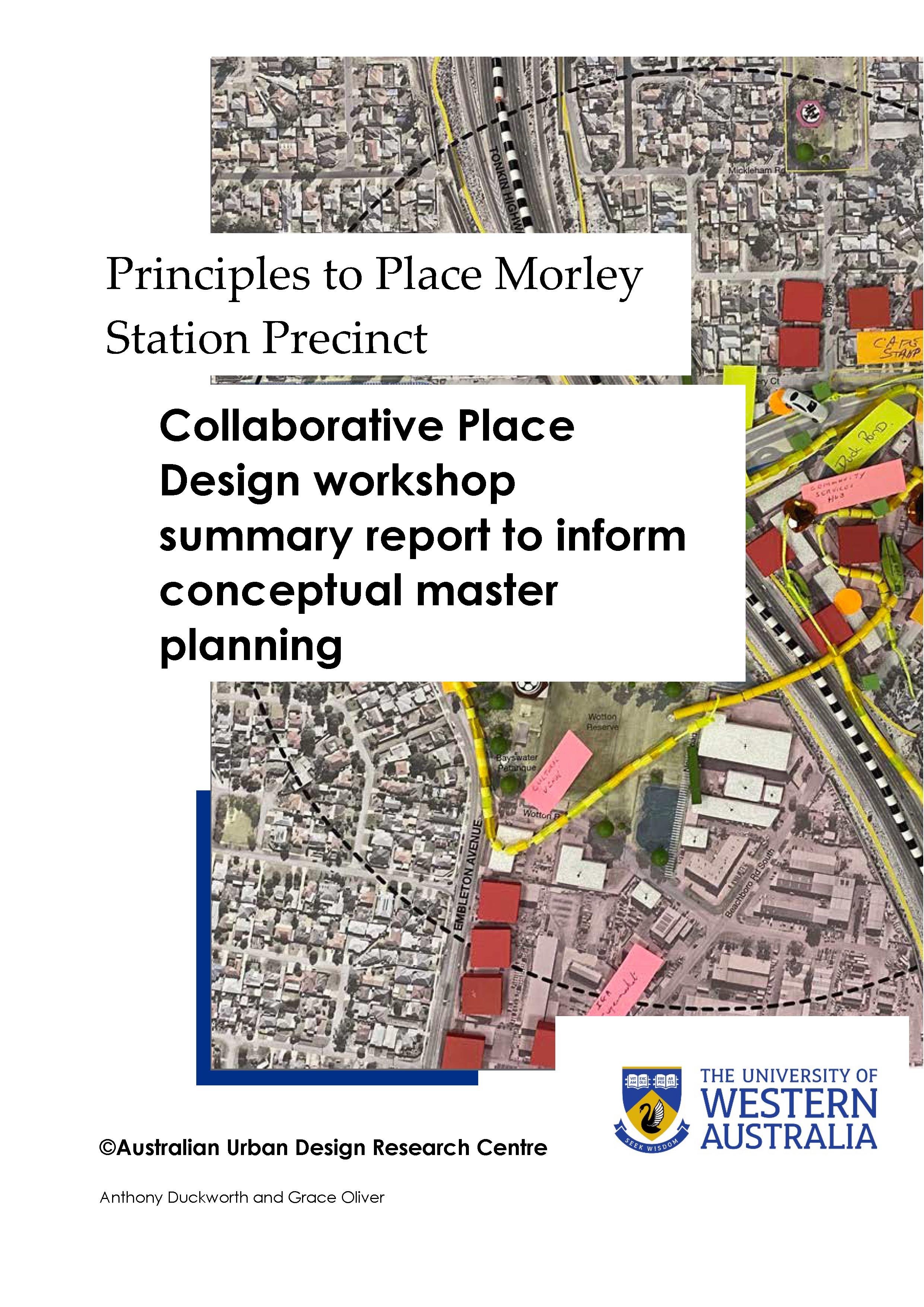
Project description: This research project explores the elements which create exceptional transit-oriented developments, and those which fail to realise their potential as urban transit precincts. This project is grounded upon realtime developments occurring in the Metronet project – an expansion of the Perth metropolitan rail network. Metronet aims to ensure that the consideration of land-use outcomes is embedded in the design of new infrastructure to lay the groundwork for vibrant new communities.
Partner organisations: The Western Australian Planning Commission (WAPC), the Department of Planning Lands and Heritage (DPLH), Development WA
Timeframe: 2019
Related academic papers:
Australia’s new cities: past, present and future
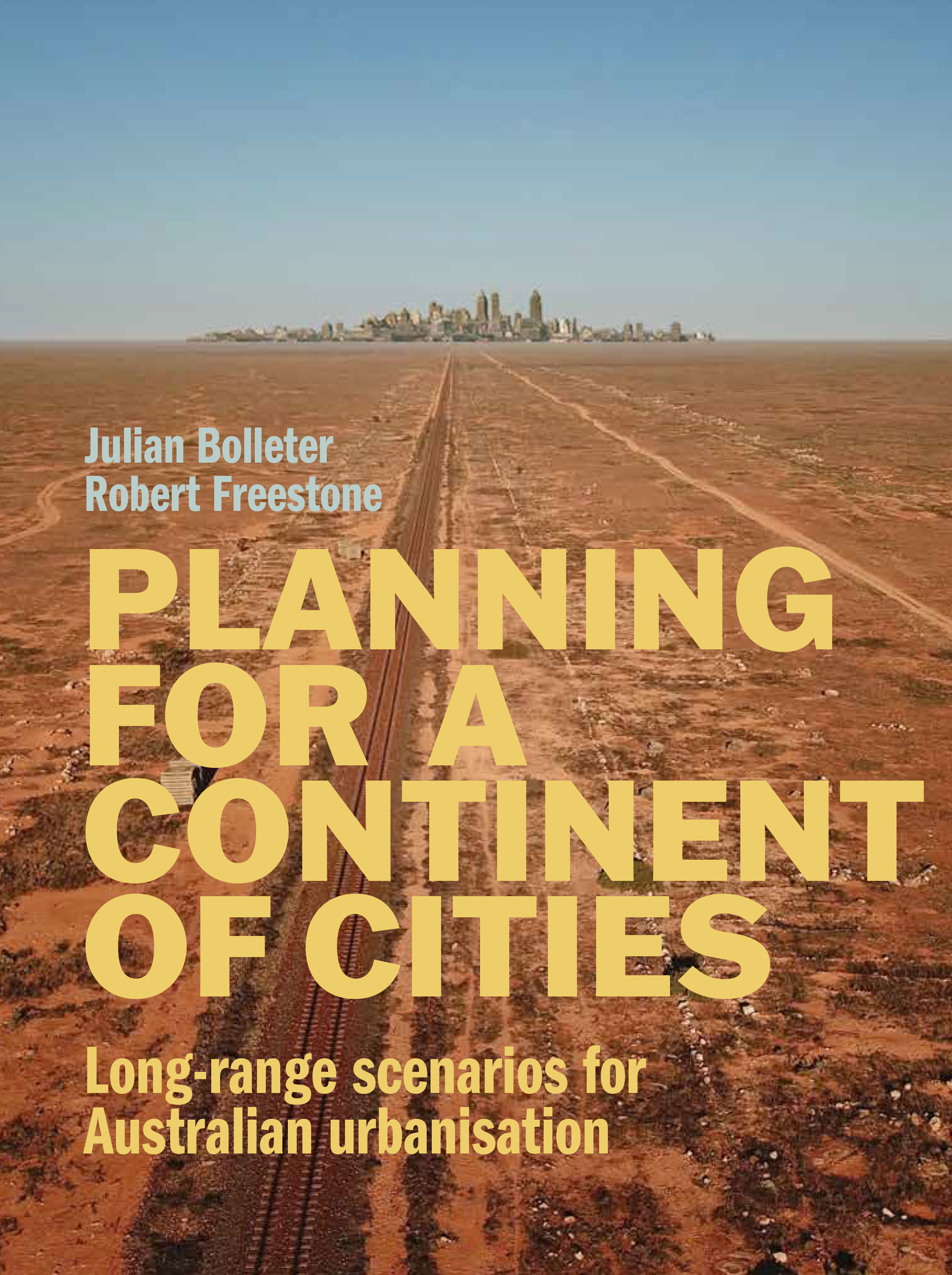
Project description: This project investigated the conceptualisation, creation and promotion of new cities in Australia since the mid-20th century. The project generated new knowledge in the area of urban planning and architectural history, leading to new understandings of community engagement with planning and architecture and dialogue on decentralisation, housing affordability and metropolitan primacy. Outcomes of this project included a contribution to the national conversation regarding political vision for large-scale infrastructure through a book, papers and media engagement on the topic.
Partner organisations: University of Melbourne (lead), University of New South Wales, the Australian Research Council
Timeframe 2019-2021
Academic papers:
Evaluating scenarios for twenty-first-century Australian settlement planning
Political centralisation federalism and urbanisation evidence from Australia
Informing future Australian settlement planning using suitability analysis
Revisiting the Australian Government’s Growth Centres Program 1972-1975
Growth Dynamics and Municipal Population Change in Australia
The limits of spatial design in delivering inland decentralisation in Western Australia’s SuperTowns
The consequences of three urbanisation scenarios for northern Australia
Research and development of innovative tools for community engagement
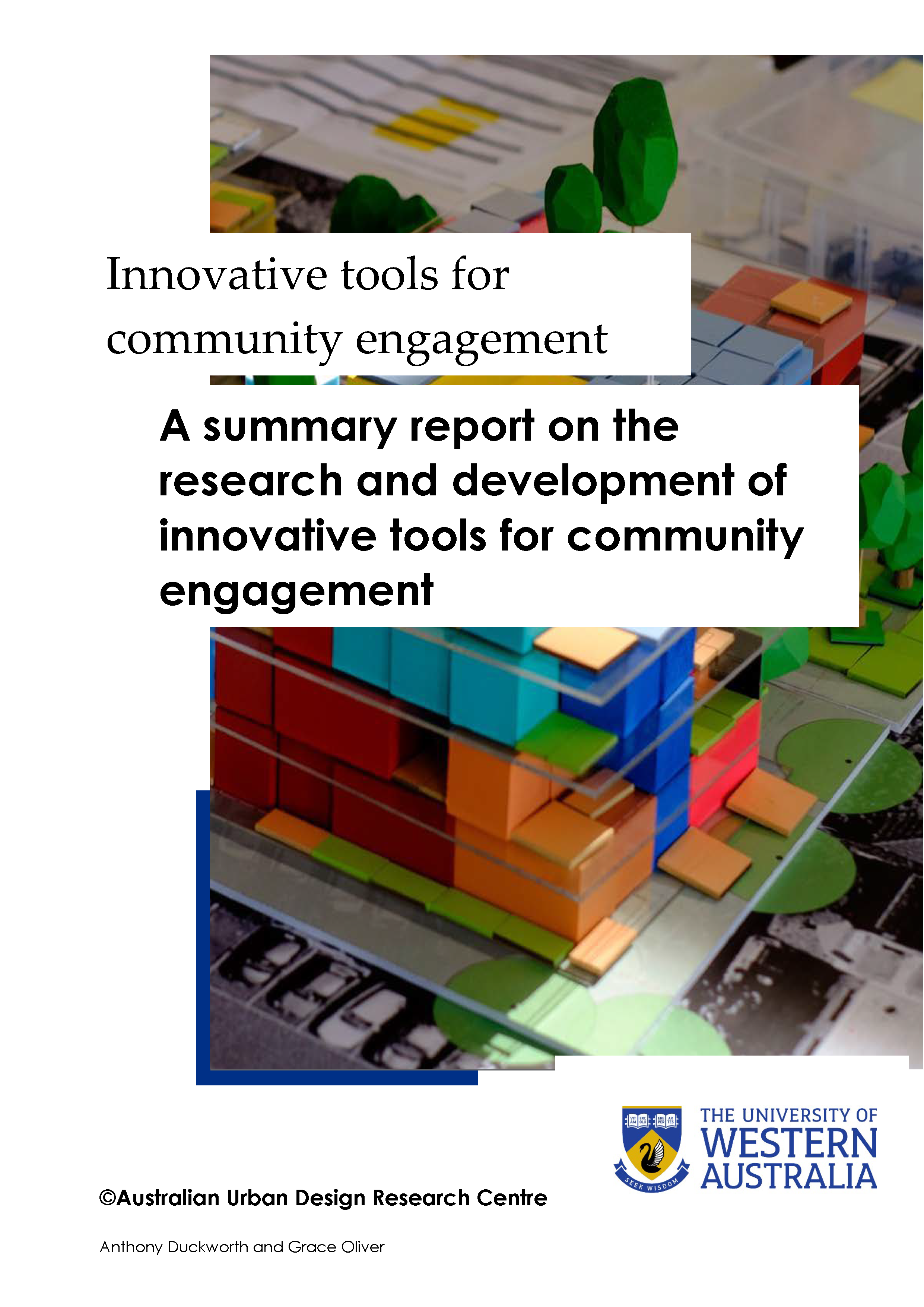
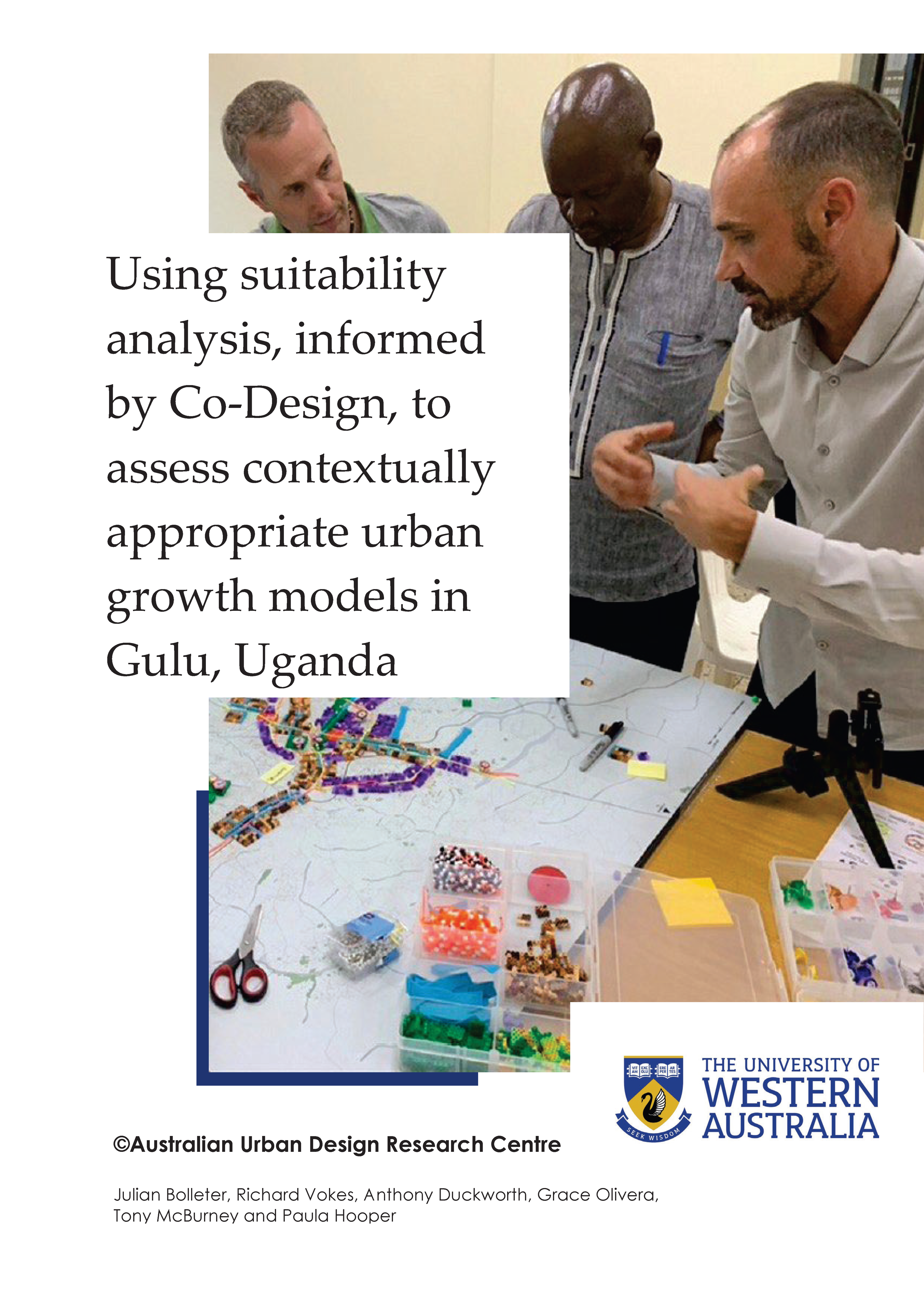
Project description: The development and implementation of planning and design policy require the dissemination of spatial knowledge in order to ensure it is understood, supported and ultimately effectively applied. This knowledge can be complex and often requires demonstration of the policy development process as well as the outcomes. Stakeholders can range from specialist professions through to the general population who may have a limited context for being able to understand and contribute to knowledge which is critical to successful policy development and application. The objective of this research project is to develop and refine innovative tools for community engagement to assist with the communication of key policy initiatives to a variety of stakeholders in particular those with potentially limited spatial and/or design knowledge.
Partner organisations: The Western Australian Planning Commission (WAPC), the Department of Planning Lands and Heritage (DPLH), Development WA, and the Department of Housing and Works (DHW).
Timeframe: 2018

overcoming the barriers MEDIUM DENSITY INFILL DEVELOPMENT
Project description: Perth is one of the lowest density and most car-dependent cities in the world. To address this situation, the aim of this research project was to better understand the barriers mid-tier developers/ builders experience in delivering coordinated medium density development on infill sites in Perth, and as such develop strategies to mitigate these barriers – where possible. The objective of this research is more broadly to address the ‘missing middle’ in current dwelling provision. The ‘missing middle’ includes 2-3 storey compact housing, terrace style housing, maisonette (manor) housing, dual occupancy housing, townhouse housing, and low rise apartments.
Partners: The Western Australian Planning Commission (WAPC), the Department of Planning Lands and Heritage (DPLH), Development WA, and the Department of Housing and Works (DHW)
Timeframe 2018


Related academic papers:
Optimising apartment design policy to equitably enhance mental health
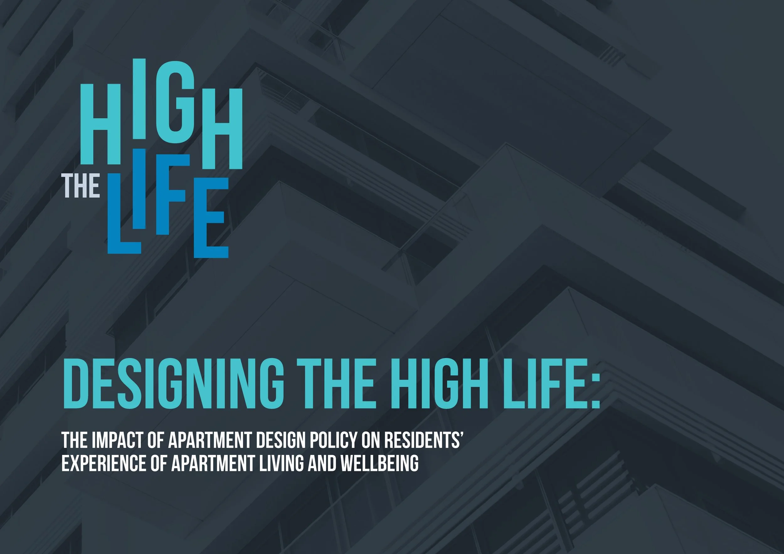
Project description: Mental health problems are widespread in Australia and projected to escalate. There is also emerging evidence that poor building design can affect mental health, with insufficient space, restrictive layouts, and poor acoustic and visual privacy negatively impacting residents’ quality of life, anxiety and stress. However, there is little evidence-based planning guidance on apartment designs that facilitate positive health behaviours and optimise mental health. Through a large-scale post occupancy evaluation in Perth, Melbourne and Sydney this study generated the policy-specific empirical evidence needed to inform the ongoing development of state Apartment Design Guidelines.
Partners: RMIT (lead organisation), Healthway
Timeframe: 2018-2021
Related academic papers:
A typological study of the provision of COS in Australian apartment developments
Measuring the high life- A method for assessing apartment design
An evaluation of implementing healthy apartment design standards in three Australian cities
city of bayswater urban forest research
Partner organisation: the City of Bayswater
Timeframe: 2016
Project description: The City of Bayswater sought to increase their urban forest canopy cover from 13% to 20% by 2025. This equates to an additional 2.3km2 of urban forest. This project proposed concepts for this future urban forest that are both feasible and aligned with community expectations. The project is important because urban forests deliver a multitude of ecosystem services that underpin urban liveability and sustainability.

Living streams for living suburbs
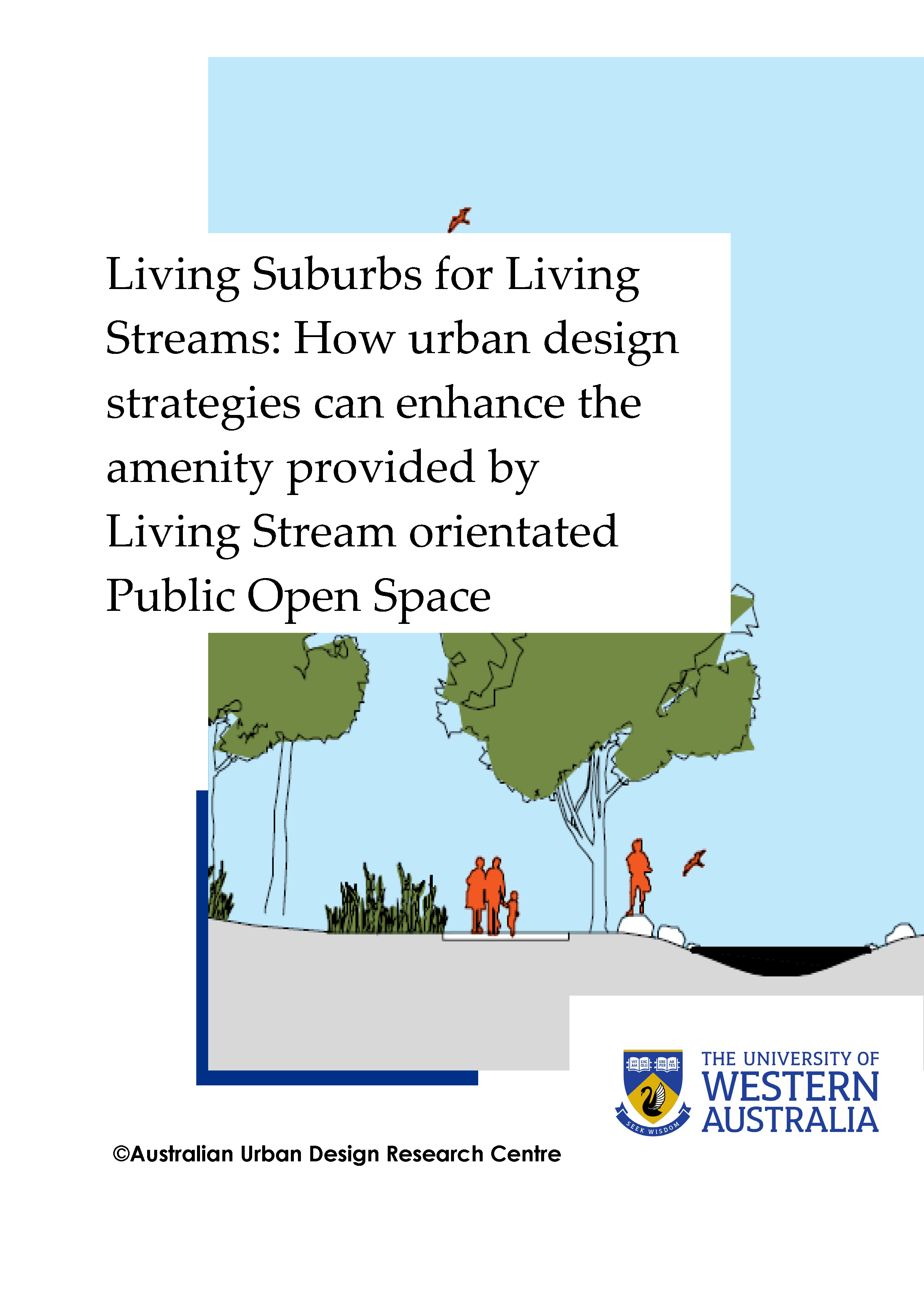
Project description: Perth is a city which is expanding into geomorphic wetlands on two major development fronts and development is occurring on land that is in effect waterlogged below the surface and has above surface water at certain times of the year. One result of this is that many new greenfield developments to adopt Living Stream orientated Public Open Space systems to cope with the related drainage requirements. In response, this project analysed how can Living Streams be optimised from an urban design perspective to provide greater amenity.
Project partner: Metropolitan Redevelopment Authority
Timeframe: 2016
Academic papers:
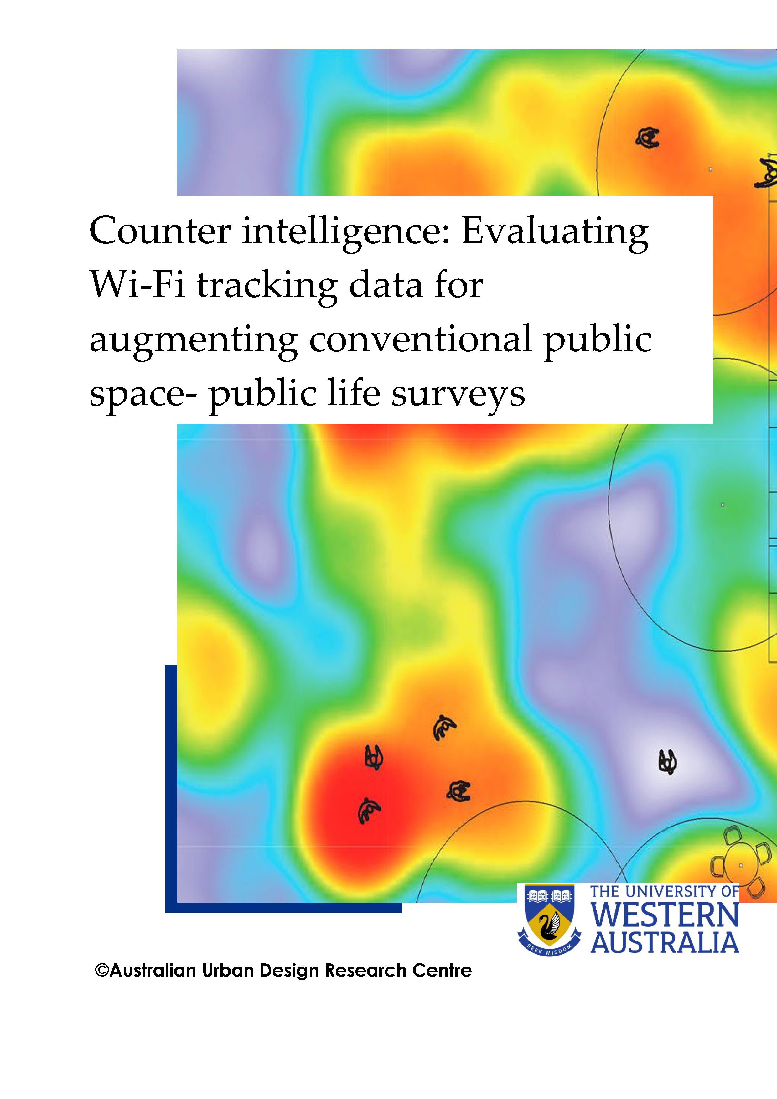
Evaluating Wi-Fi monitoring data for use in public life surveys
Project description: Digital tracking technologies seem to offer access ‘into the candy-store-of their- dreams’ for urban designers and place managers. This report questioned this premise and methodically measured the potential contribution that Wi-Fi monitoring and opt in survey data of people in urban precincts can contribute to more traditional public life surveys.
Project partner: Metropolitan Redevelopment Authority
Timeframe: 2016
Academic papers:
maintaining the green infrastructure role of foreshores while adapting to sea-level rise
Project description: A global challenge concerns reconciling population growth and increasing built infrastructure with foreshore ecosystems that are ‘squeezed’ against a rising sea levels, hampering their ability to deliver life-sustaining ecosystem services. This project tested established sea-level rise strategies – fortification, accommodation, and retreat – using a city-centre adjacent estuarine case study to understand the implications for foreshore ecosystem service provision. The results indicate that some retreat of urban areas will be required, combined with the migration of the foreshore reserves landward, to maintain ecosystem service functions over the longer term.
Project partner: Metropolitan Redevelopment Authority
Timeframe 2016

Academic papers:
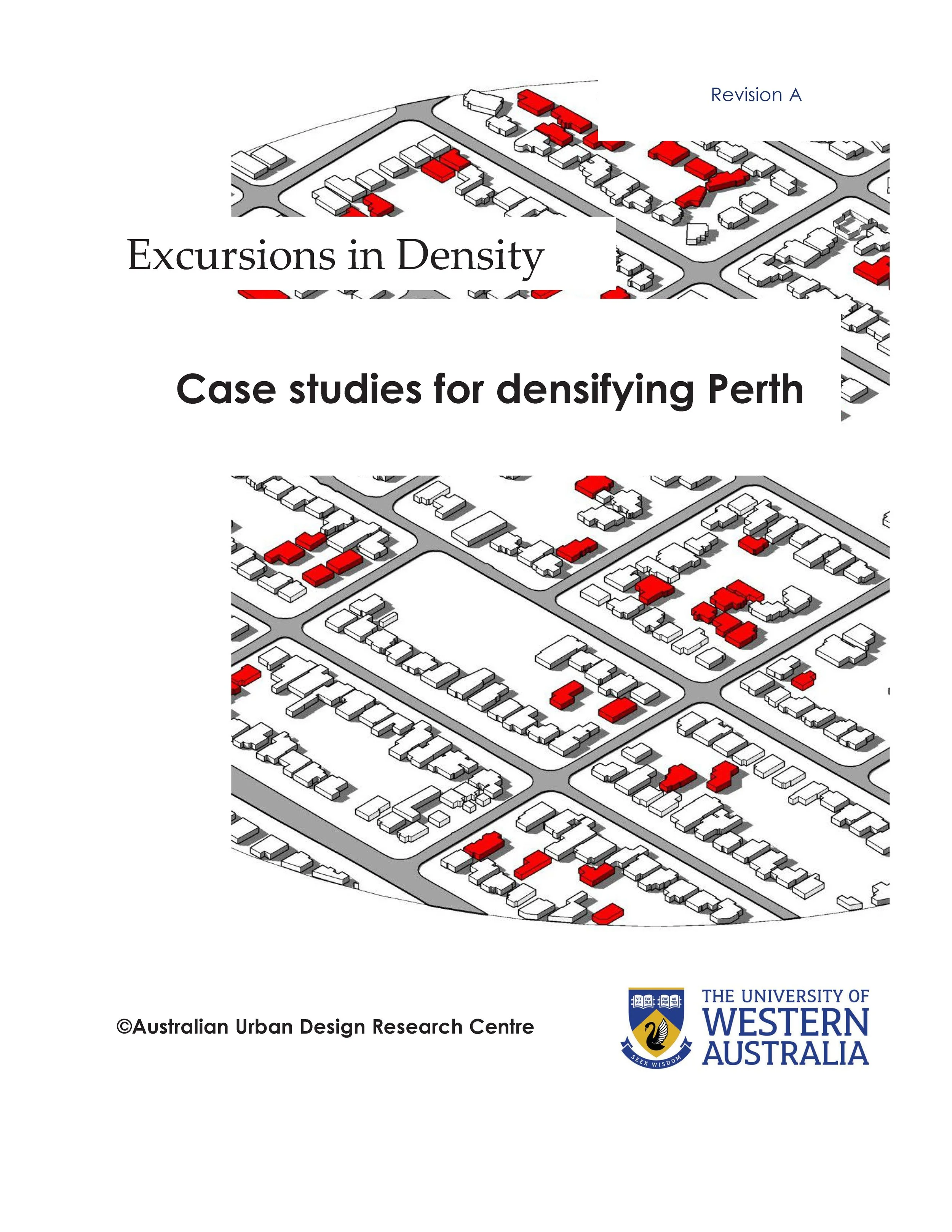
Excursions in Density: Case studies for densifying Perth
Project description: This project conducted a case study analysis to augment existing planning for urban infill in Perth by introducing a variety of alternative infill strategies. These were derived from case study urban infill projects from broadly similar suburban settings around the world.
Project partner: the Western Australian Planning Commission (WAPC)
Timeframe: 2014
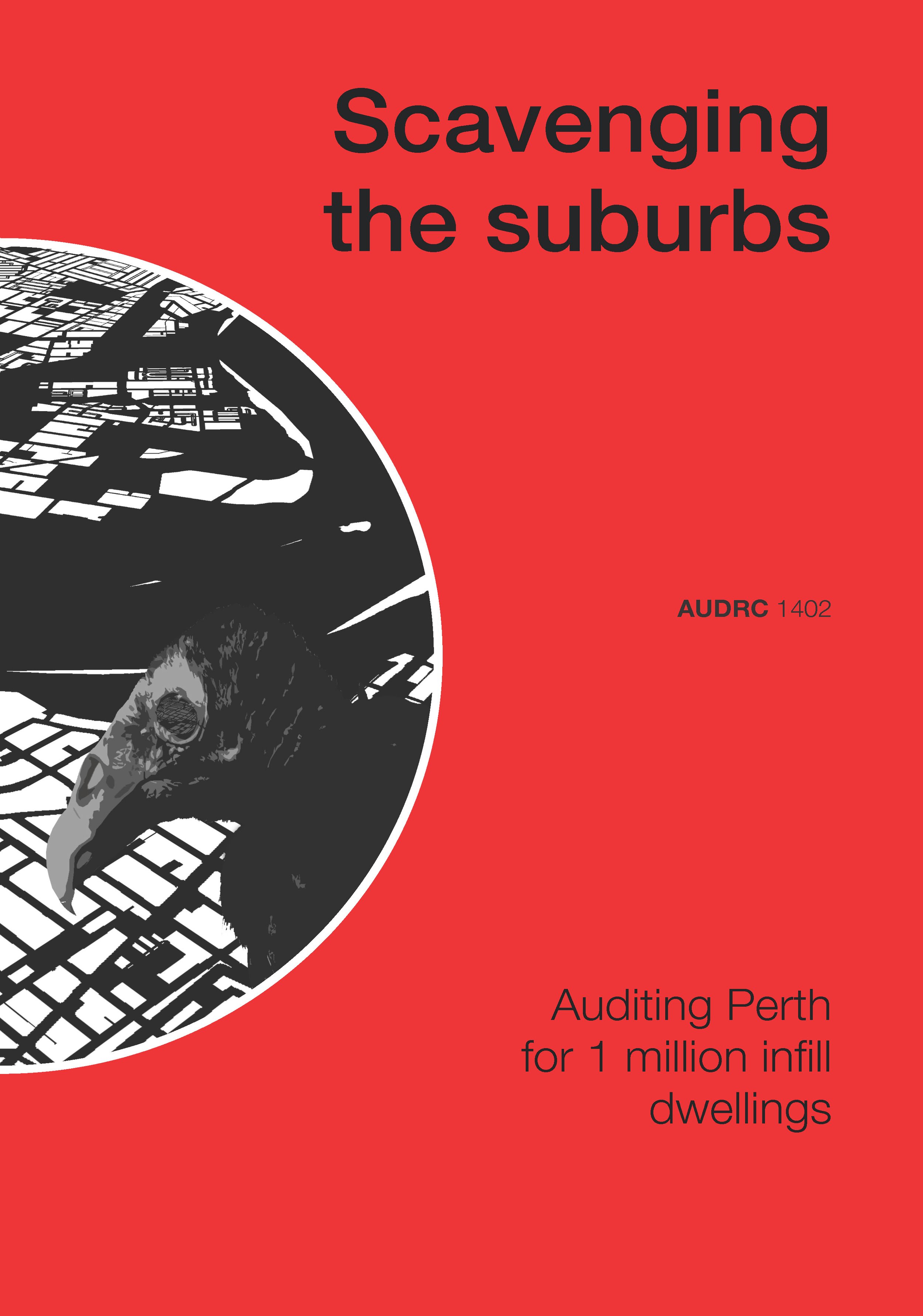
Research Reports WITH PARTNERS
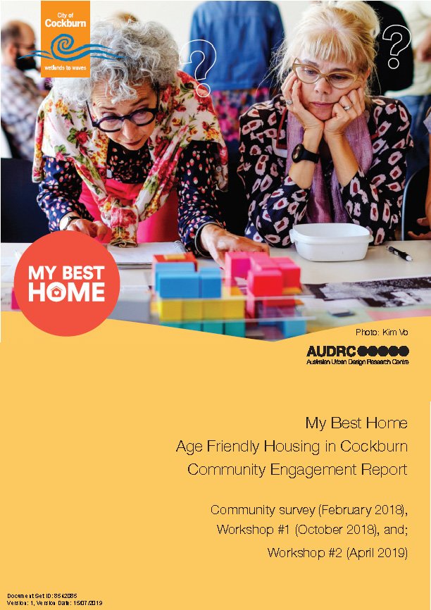
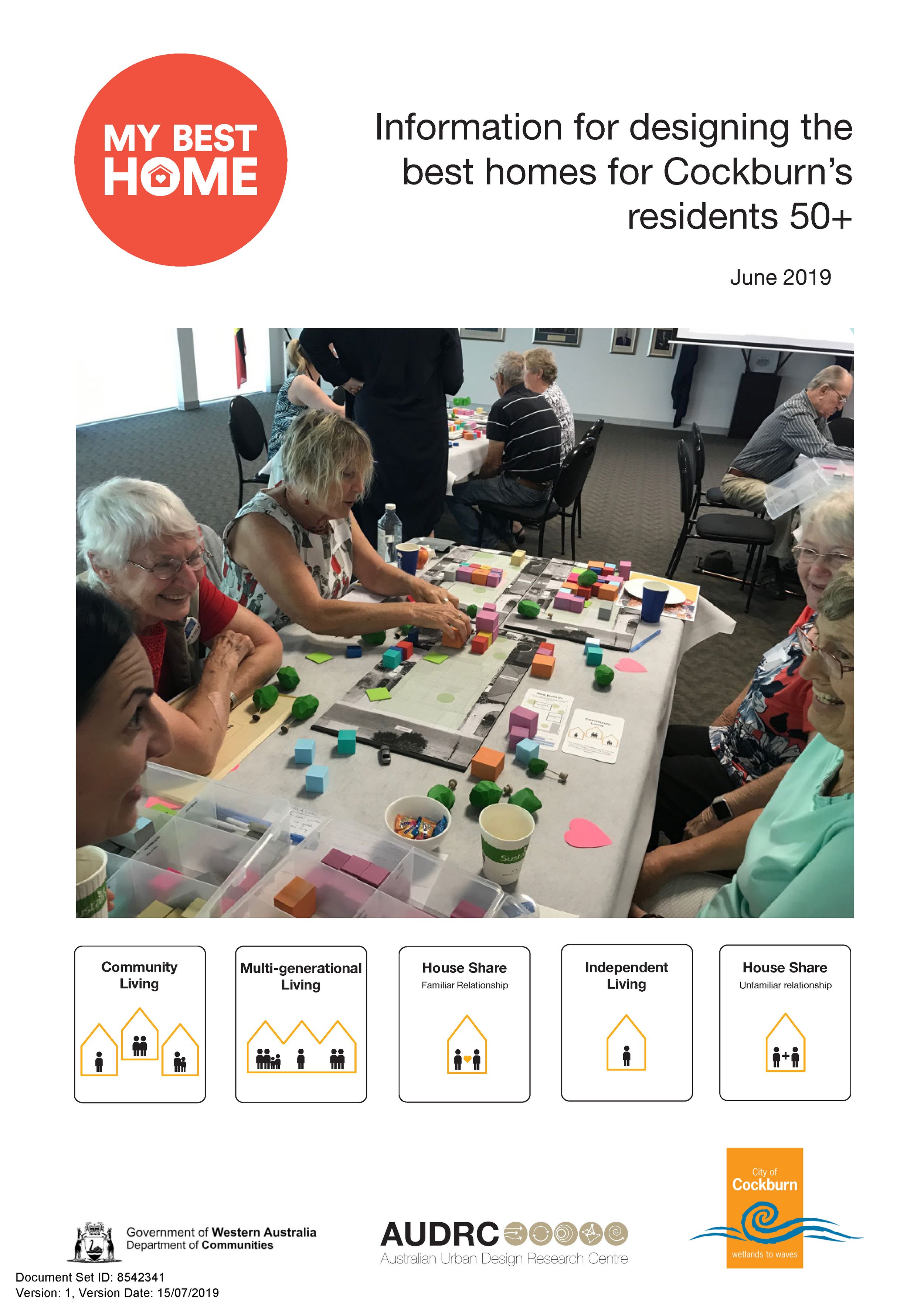
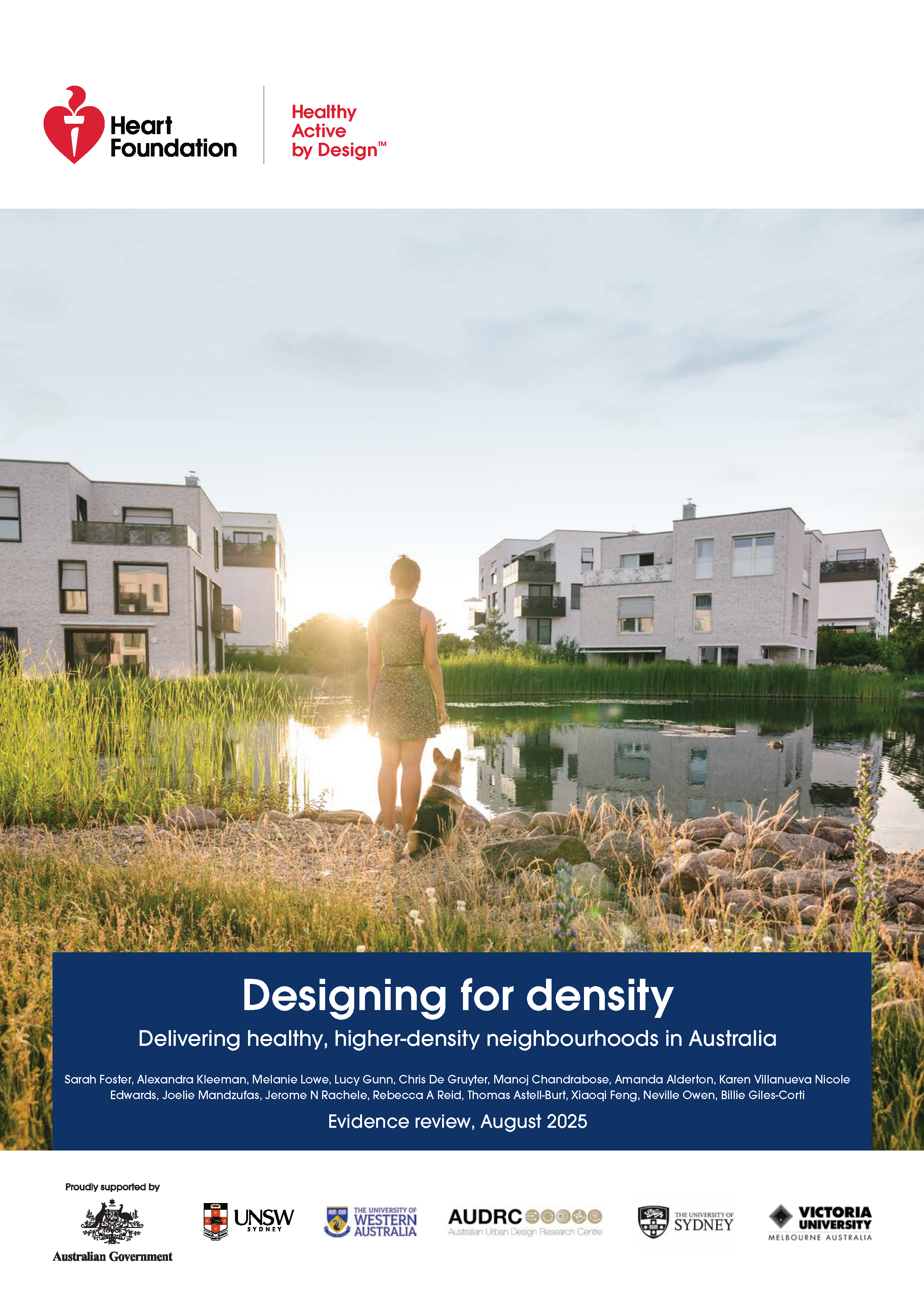
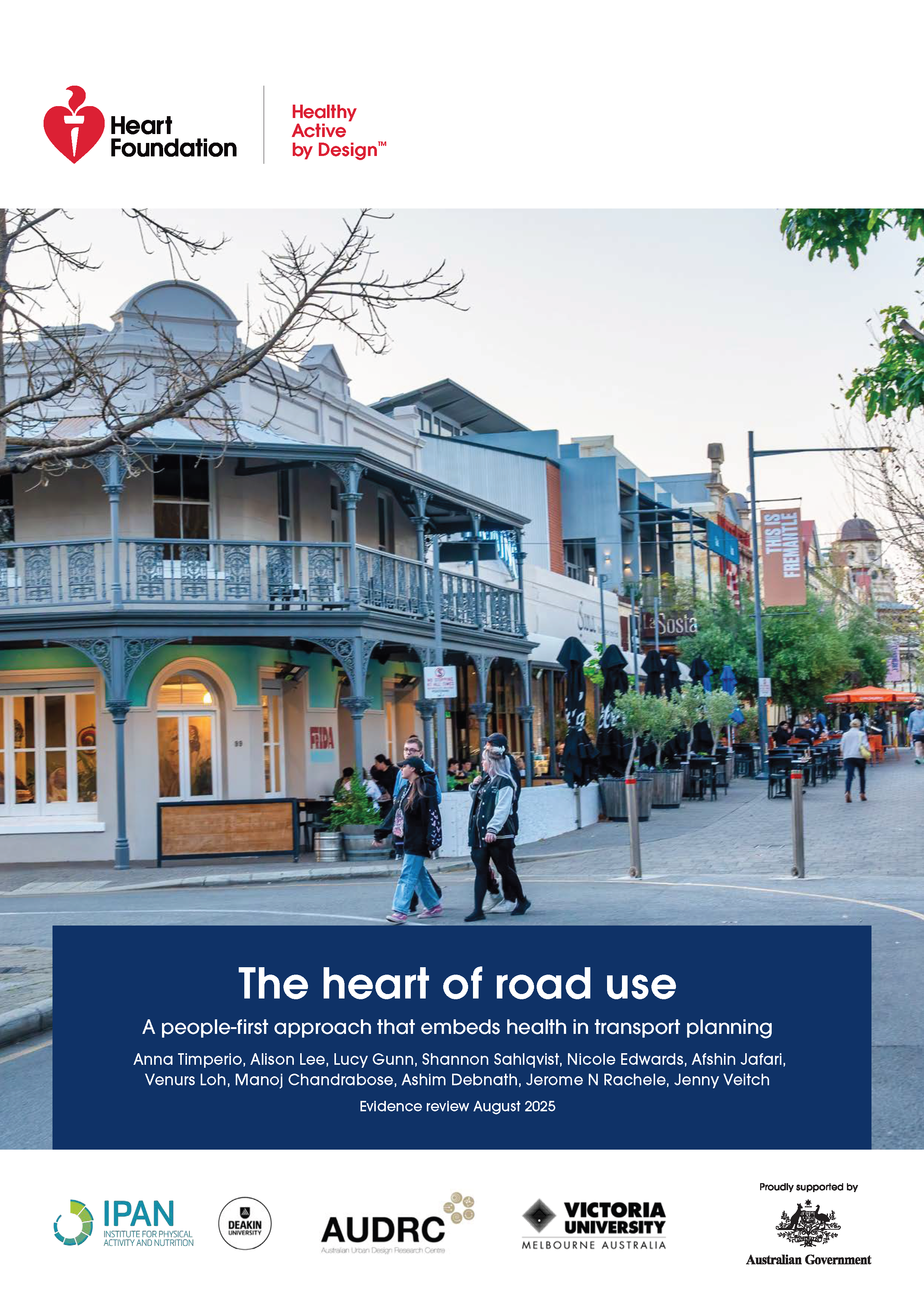
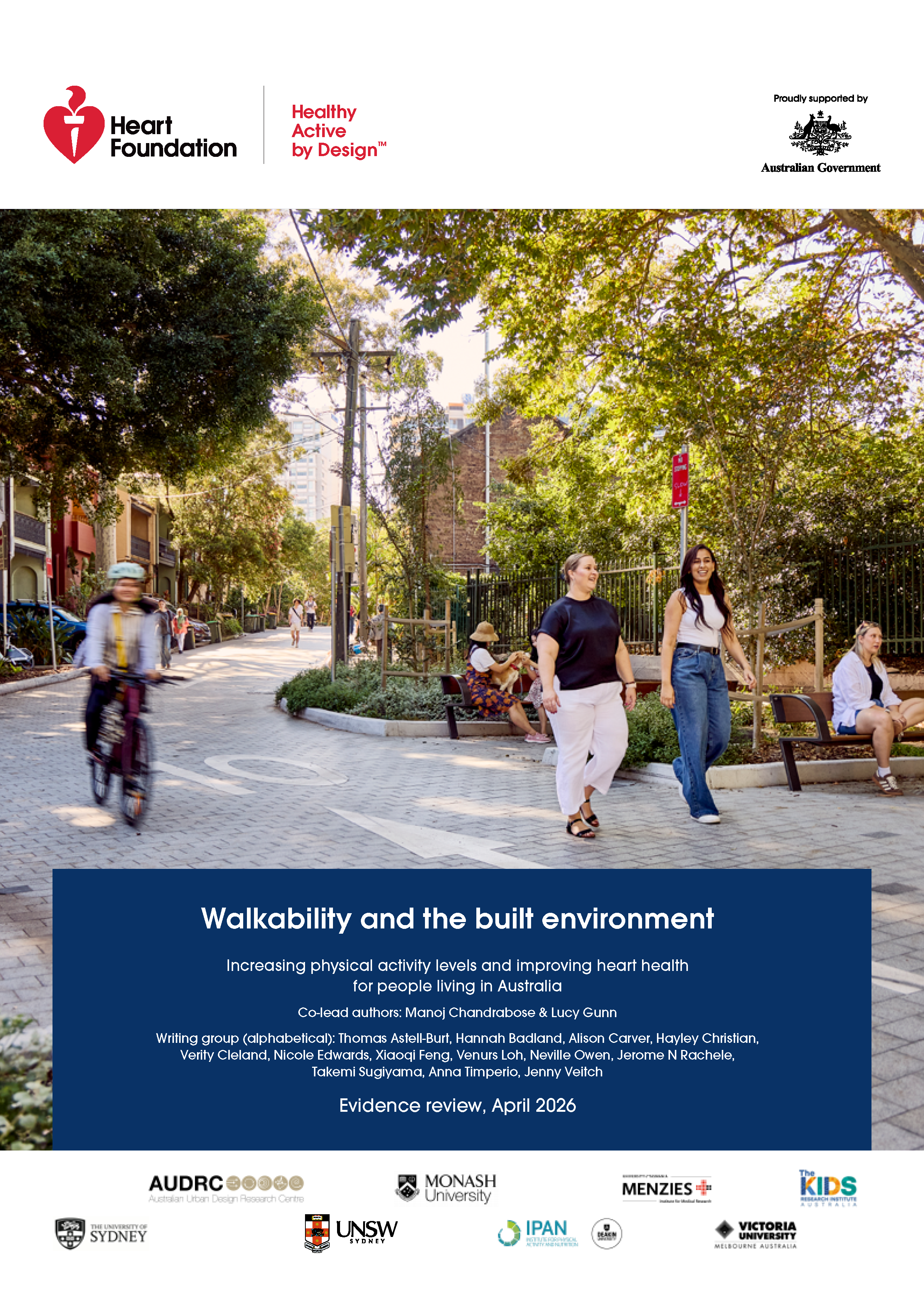
BOOKS


Other academic papers
2026
Sticky places for regional immigrant settlement: A literature review
Neighbourhood density for better Heart Health: translating Research evidence into practice
2023
A reliability study of the Park Life public participatory geographic information system survey
Optimising generation and energy storage in the transition to net zero power networks
2022
2021
Exploring the potential for Planning Support Systems to bridge the research-translation gap
A critical landscape and urban design analysis of Egypt’s new Administrative Capital City
2020
All roads lead to retreat: adapting to sea level rise using a trigger-based pathway
The importance of place-based narrative in suburban forest planning
2019
2017
2016
2015
2014
2009